Geospatial Baseline & Feasibility Assessment, Mangrove Restoration Project
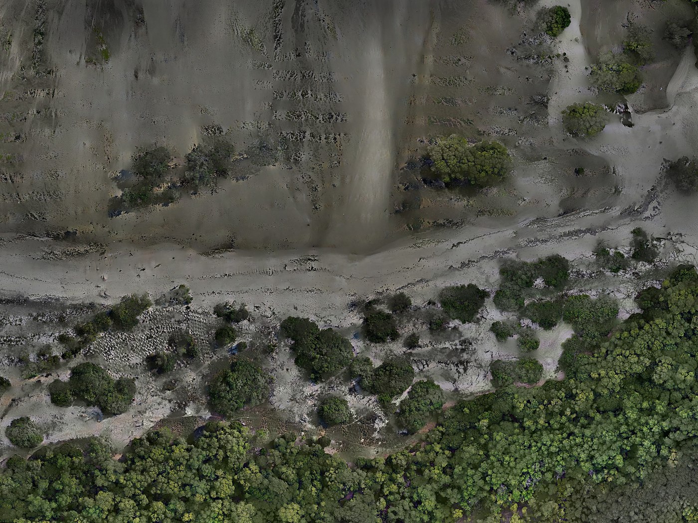
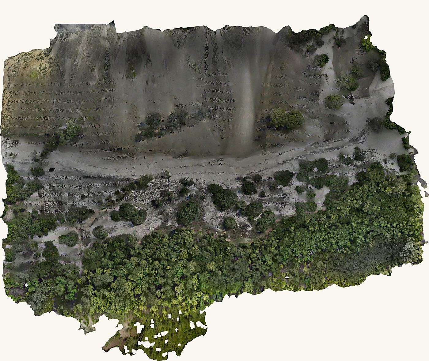
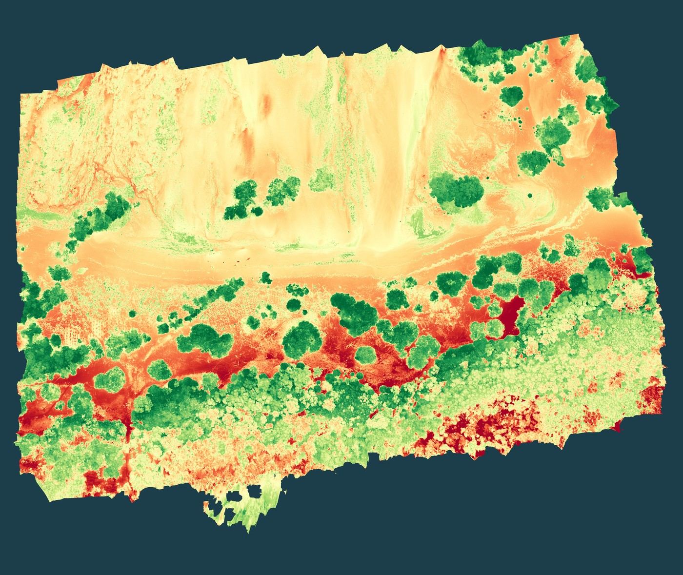
Establishing baseline site condition ahead of restoration: mapping the extent and density of vegetation cover and assessing the degree of wave-induced coastal erosion.
Projects
A selection of engagements that show our GIS-based monitoring approach at work, from coastal restoration baselines to industrial compliance assessments.
Establishing baseline site condition ahead of restoration: mapping the extent and density of vegetation cover and assessing the degree of wave-induced coastal erosion.
Deliverable Preview
Drag the handle to compare the true-colour drone orthomosaic against its NDVI vegetation-health index, the same baseline dataset used to plan and later track the restoration.
Assessing the surface water hydrology of Kimara Corner: mapping drainage patterns and terrain characteristics relevant to runoff and flood behaviour in the area.
A topographical survey of Mawela Visitation Parish, Moshi, supporting the development of an accurate GIS data package for the site.
A topographical survey at Mvuti, generating accurate spatial data to support GIS-based site mapping.
Establishing baseline site conditions ahead of the Pit area expansion and the establishment of a new Heap Leach.