Satellite & Drone Environmental Monitoring in Dar es Salaam, Tanzania
Satellite and Drone Data, Turned Into Evidence You Can Defend
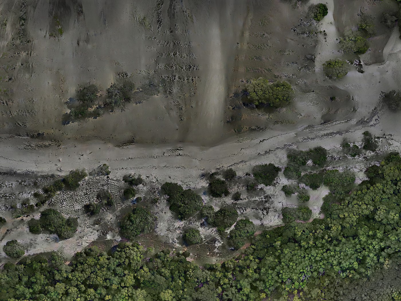
We pair satellite time-series analysis with drone-based multispectral verification, giving conservation programmes, government bodies, and businesses continuous visibility into the land they're responsible for, precise enough to stand behind.
Clients & Partners





Our Approach
Land changes continuously. Your visibility into it shouldn't lag a year behind.
Our core offering is GIS-based environmental monitoring: satellite time-series analysis paired with drone-based multispectral verification, giving conservation programmes, forestry authorities, and donor-funded projects ongoing visibility into deforestation, land-use change, and ecological condition, backed by evidence at every step.
From that core, we extend the same GIS and field-instrumentation capability to agribusiness and crop analytics, water resource monitoring, and occupational safety and health inspections, serving clients from government agencies and NGOs to commercial farms and industrial facilities.
Learn more about our missionWhat We Do
A three-tier service model, built around continuous monitoring
From satellite-verified deforestation monitoring to on-site compliance inspections, every service is designed to give you data you can act on and defend.
GIS-Based Environmental Monitoring
Satellite time-series analysis and drone ground-truth verification for deforestation, land-use change, and protected-area / carbon project MRV.
Extended GIS Monitoring
Agribusiness & crop health analytics, water resource monitoring, and hydrothermal alteration analysis for mine prospecting.
Consulting & Compliance
OSH inspections, acoustic & photometric studies, water sampling, and air quality monitoring for compliance-ready reporting.
Why Prime
Evidence, not just imagery
Satellite + Drone, Combined
Most local providers offer one or the other. We run satellite time-series analysis and drone-based ground verification as a single, integrated service.
Built for Ongoing Monitoring
We sell continuous monitoring retainers rather than one-off reports, so clients have current, defensible data the moment MRV, compliance, or donor reporting calls for it.
Precision Instrumentation
Calibrated sensors and professional-grade multispectral drones deliver data that holds up on repeat, applying internationally recognised GIS and MRV methodologies from a team grounded in the region.
For Institutions
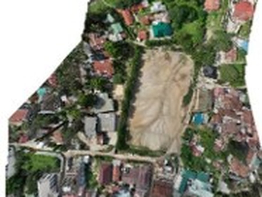
NGOs, government, agribusiness & industry
Ongoing, contract-based monitoring programmes built for conservation, compliance, and the decisions that ride on them.
See who we serveFor Individuals
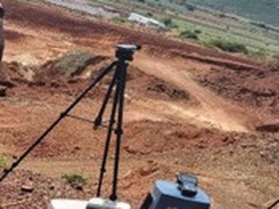
Farmers, landowners & small businesses
Accessible, project-based support, from single-plot crop assessments to boundary surveys and workplace safety checks.
See who we serveStart With a Pilot
See your land's story in the data before you commit to a full retainer
We recommend starting with a scoped pilot: one site, one reporting cycle, before stepping into an ongoing monitoring contract.